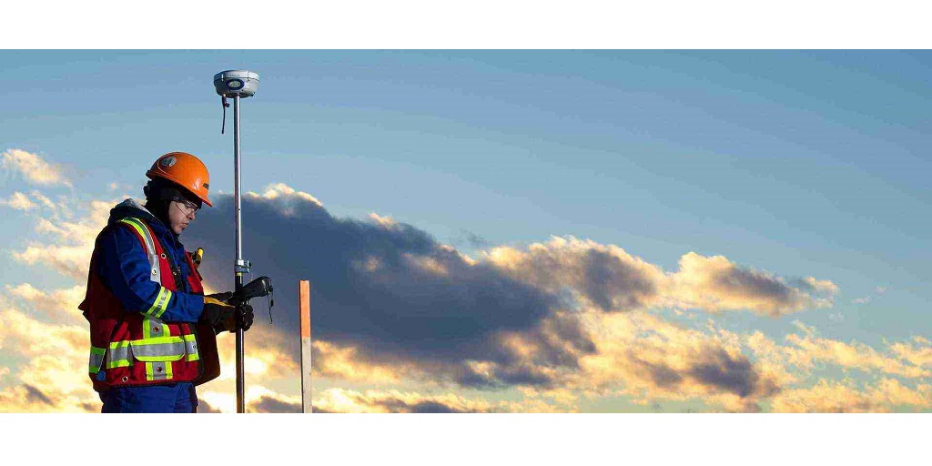
There is one thing common between agriculture, self-driving vehicles, building construction, and mining. However, if you were to make a guess, you would likely be clueless about what it is that brings them together. The answer is Geomatics.
What Is Geomatics?
A field rooted in science and technology, Geomatics is the measurement, analysis, and management of data relating to the earth and built environment. Engineers, STEM graduates, and professionals certified from Geomatics institutes usually take up roles in geomatics.
In a nutshell, geomatics services impact a variety of fields and meet a myriad of purposes. Here are some of the offerings of geomatics.
● They record data of geographical areas that deal with renewable energy, utilities, land development, and mining through surveying.
● They work on land reclamation and remediation for construction projects.
● They work with precision laser scanning, special drones, and remote sensing machinery for surveying.
● They contribute to environmental planning to save wildlife and our natural resources.
6 Basic Facts On Geomatics And Its Services
1. Surveying Is As Old As Recorded History.
Surveying is the technique that determines terrestrial 2D and 3D positions of points. These points help establish maps and boundaries of ownership and building plans for several construction procedures.
Surveyors work with various sciences and techniques, including physics, meteorology, engineering, geodesy, programming languages, and the law. They use the latest technology and equipment, such as 3D scanners, LiDAR sensors, drones, inclinometers, robotic total stations, and surveying software.
Records show that surveying has significantly helped humankind build the environment around them since the beginning of recorded history.
2. Remote Sensing Is The Latest Development In Geomatics.
In contrast to conventional surveying methods, remote sensing technologies provide millions of points of land or structure-based data. In addition, the upcoming technology is rapid, accurate, and time-saving, as conventional surveying technologies can obtain only a hundred to a few thousand points. Thus, remote sensing technology accelerates geomatics services significantly.
3. Geomatics Plays A Significant Role In Real Estate.
Geomatics was initially developed to determine and record property boundaries and lands. To date, geomatics is pivotal in planning buildings, land reclamation, monitoring construction, and real property reports.
Other tasks within the discipline of surveying contribute to civil engineering. Herein, surveying is used for topographic surveys, designing public infrastructure and urban subdivisions, mapping, and construction.
4. Geomatics Services Use The Latest Technology.
Data collection for geomatics requires several technologies and tools. Some of them include survey total station, 3D laser scanner, the global positioning system (GPS), geographic information system (GIS), digital aerial imagery (satellite and air-borne), and more.
5. The Role Of Geomatics Engineers Is Diverse.
Geomatics engineers work with the knowledge, skill, and art of recording geographical data. They design, develop, and operate systems that collect and process information.
Geomatics engineers work with natural resources such as gravel, stone, and other building materials, as well as in mining, ocean mapping, and aerospace measurements. They are also responsible for the calculation, design, and construction of buildings, bridges, pumps, industrial vessels, and other real estate structures.
Looking For The Best Geomatics Services In Canada?
CORE Geomatics in Canada offers holistic geomatic solutions, from surveying to land reclamation and the latest remote sensing technology. If you are looking for geomatics services in Canada, they bring to you 13+ years of experience in the field, along with valid certifications and a word from hundreds of happy customers. Contact them today to discuss your geomatics services requirement.

